At Poulos & Bennett, we team with Esri, the industry leader in Geographic Information Systems (GIS) technology, in their Business Partner program to provide our clients a full suite of cartographic and interactive maps and web mapping applications that serve a multitude of needs. We specialize in GIS products and services designed to help guide and inform property owners, developers, engineers, attorneys, urban designers, and construction managers through the various stages of land acquisition and development. Our GIS team has over 15 years of multi-disciplinary experience across a multitude of public and private industries, including civil engineering, defense and intelligence, roadway and transportation, and urban/municipal planning, enabling us to objectively and comprehensively evaluate projects from varying perspectives.
By combining the power of GIS with our firm’s planning and engineering assets, such as AutoDesk Civil 3D, Adobe Photoshop and Illustrator, Google Sketchup, and Lumion, we provide a collaborative approach to creating products and solutions for a modern developing world from start to finish. Our ArcGIS Enterprise system gives us the ability to develop and host secured web maps and other services, including site suitability analysis; asset management; data tracking, conversion, and creation; concept plans; renderings; 3D animations; aerial imagery analyses; environmental analysis; large wall maps and much more.
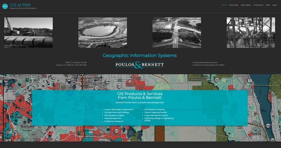
View our new GIS Website today to see how we can help you take advantage of our GIS services for your business.